This article in Canadian Business has been emailed to me three times in the last two days, so I figured if you haven’t seen it yourself – you’ve got to!

“What Toronto’s Skyline Will Look Like In 2020”
By: Trevor Melanson
Canadian Business
September 24th, 2012
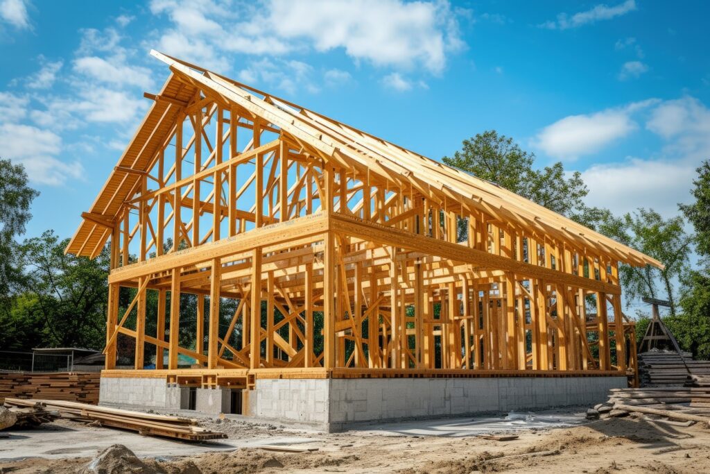
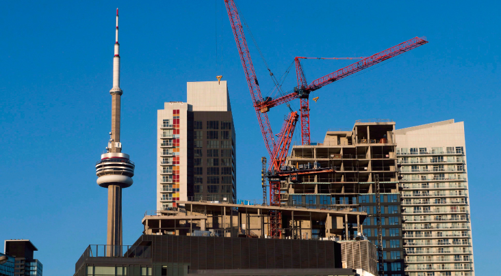
You may have heard that Toronto is putting up more skyscrapers than any other North American city—by a long shot, in fact.
There are currently 184 skyscrapers and highrises under construction, according to Emporis, a provider of building and construction data. And despite warnings of a Canadian real estate bubble (including our own), there are hundreds more planned.
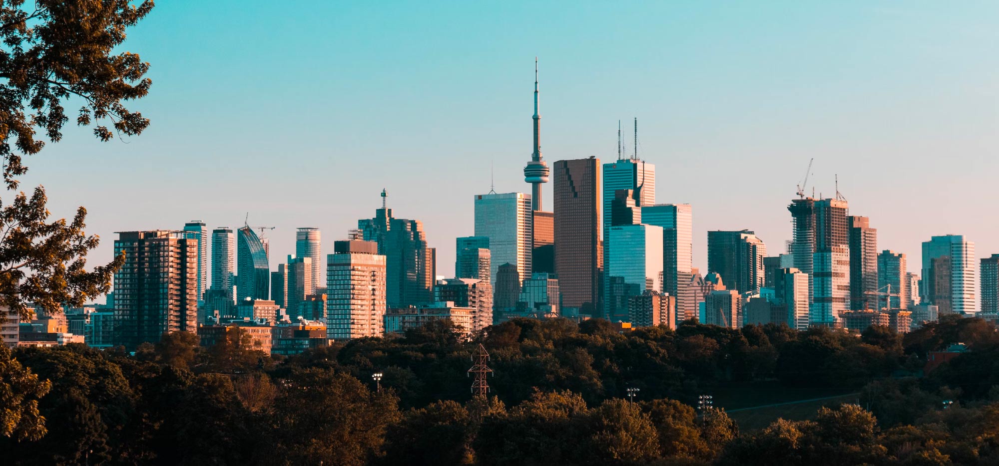
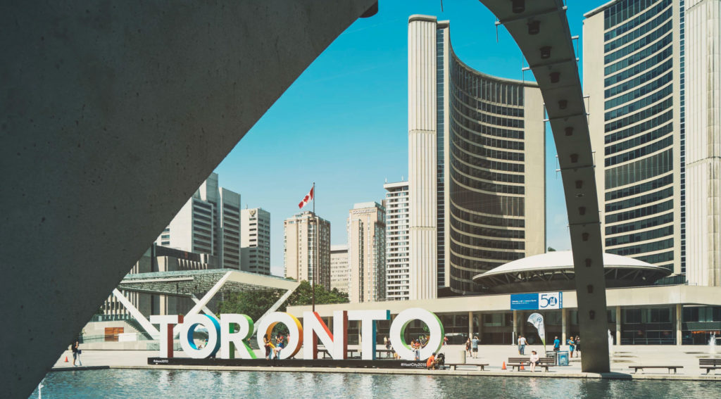
So what sort of visual impact will all this new development have on the city? Well, there’s a lot of concept art floating around the Internet, but I found these less glamorous photos from a forum post the most interesting.
One of the forum regulars (who goes by the name Insertnamehere—yes, that’s actually his or her username, not an editor’s note I forgot to come back to) used Google Earth to generate a 3-D skyline that included all of the planned and partly-finished skyscrapers going up in Toronto.
Insertnamehere even went so far as to colour-code them:
- WHITE = the project has had preliminary renders, but no application has been submitted.
- RED = the project has submitted an application to the city
- GREEN = the project has been approved, but has yet to start construction
- YELLOW = the project is currently in sales
- BLUE = the project is currently under construction
Check them out:


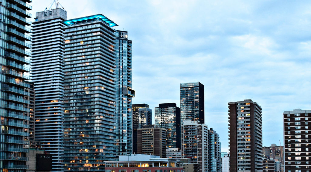
Okay, now compare those futuristic photos of Toronto in 2020 with an actual photo of Toronto in 1932:

I love these old photos!
Actually, I just love the city of Toronto!
I know we’re not some 2,000 year old town in Europe, but we have our own history, and downtown is chalk-full of buildings with historical significance.
Free coffee to whoever can name that brown building in the top left of the photo – about 2/3 of the way up. Or is that too obvious?


buk
at 3:32 am
canada life building.
Ian
at 8:20 am
I do believe that’s the (currently-named) Canada Life building. According to Wikipedia, it was only about a year old when this photo was taken. As a little kid, for some reason I always looked forward to seeing what its weather beacon light had to say about the weather when I came downtown with my parents, and became very dejected when I saw white light running down.
Ian
at 8:24 am
…unless you’re referring to the other building about an inch up and right to the Canada Life building, in which case it’s the provincial parliament building.
mpine
at 9:11 am
Queeen’s Park – Ontario Legislative Building
David Fleming
at 2:46 pm
@ mpine (and Dan)
I was pointing out Queen’s Park, although I probably should have circled it or something because I think people were looking all over the map!
I owe you guys a cup-of-Joe. Coffee Time or Dunkin Donuts? 🙂
Ian
at 3:09 pm
I’ll make myself a cup of coffee now, and just deem it as being from you. Thanks.
David Fleming
at 7:47 pm
@ Ian
So sorry! I missed your post!
Yes – you were the first!!
MY
at 9:26 am
I wish he had also found a way to demonstrate the use of the buildings – residential vs. commercial. Fascinating stuff though.
Also, Queen’s Park?
Cat
at 10:00 am
Chock full
Dan Dickinson
at 10:37 am
What, Queen’s Park?
George
at 10:29 am
It would be nice if we could build more transportation infrastructure to support the skyscraper infrastructure. No new roads, tracks, or subways…just new buildings. When will we be at capacity?